
Join the ‘LL King Tide Event as Rising Waters Swamp Bay Area Foreshores
It’s becoming an annual “event.” The Bay Area’s king tides are back and happening at a foreshore near you! Last year, around this time, we shared a story about the tides and what people around the Bay were doing to either take advantage of the huge shifts, or take photos to share with the California Coastal Commission (CCC) for research purposes. Or both!
This week, on January 11 and 12, the West Coast will be experiencing king tides through the late morning — the Golden Gate, for example, is expecting a high of 6.92 ft. at 10:30 a.m. on Thursday, and 6.88 ft. at 11:19 a.m. on Friday. The actual times and heights will vary according to location, which you can check on the CCC’s tide map here.
It’s interesting to note that the king tides are spawning activity other than traffic confusion and photo ops. The Coastal Commission has a page of “events” that are taking place in various locations around the Bay, all centered on the king tides. Currently there are seven organized and informational hikes that anyone can join, from Watsonville to Humboldt County, and at many points in between.
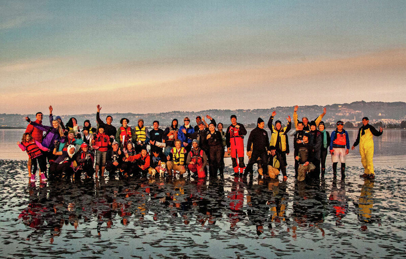
What we often forget to consider is that with every extreme high comes an equally extreme low (those around the heady hippie days will be familiar with the concept). Many Bay Area mariners will be aware of, or have even participated in, the gatherings on Ashby Shoal off Berkeley. Over the years, the small occasional “island” has hosted everything from barbecues to parties, and even a wedding. We hear there’s going to be a clambake this time around, taking advantage of the low low of -1.77 ft during Thursday’s sunset. B.Y.O. everything!
Whatever it is that you’re doing over the next two days, make sure you have your camera or phone charged up, and ready to snap some interesting photos. The CCC’s King Tides Project is calling for your photos, from wherever you are, to add to their research on the impact of rising tides and climate change. The CCC says, “King Tides themselves are not caused by sea level rise, but allow us to experience what higher sea level will be like. King Tides are the highest tides of the year, about a foot or two higher than average high tides, which corresponds to the one- to two-foot rise in sea level expected within the next few decades. When you observe the King Tides, picture the water level that high and higher every day. Documenting what King Ttides look like today will help us responsibly plan for sea level rise in the future.”
We want to help. Perhaps you do, too? Here are the simple instructions for sharing your photos:
1) Find your local high-tide time for one of the king tide dates;
2) Visit the shoreline on the coast, Bay, or Delta, and notice your surroundings to ensure you are safe and are not disturbing any animals;
3) Make sure your phone’s location services are turned on for your camera and then take your photo. The best photos show the water level next to landmarks such as cliffs, roads, buildings, bridge supports, sea walls, staircases, and piers.
4) Upload your photo! Our photo-upload form includes instructions in both English and Spanish. If you have trouble, you can email [email protected].
Here’s a bonus. Send us your photos and we’ll add them to our ‘LL King Tide Event page. We can then also share them with the CCC later. But first we’ll collect your photos from along the West Coast waterways and share those with our readers in a future ‘Lectronic Latitude. This would give us all a glimpse of what’s happening in our home and neighboring waters.
Send your photos to [email protected] with the subject line “‘LL King Tide Event.”