
This Pacific Cup Weather Router Will Lead You to the Mai Tais
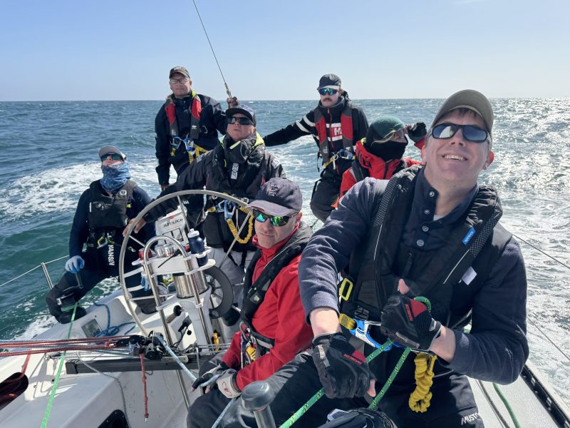
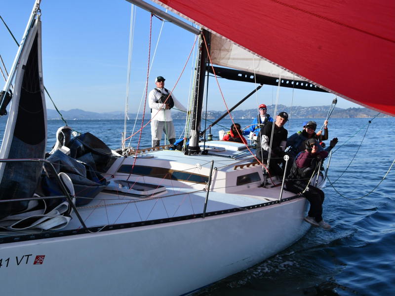
Ros de Vries is sailing with the Santa Cruz 40 Quiver in the Pacific Cup race to Hawaii, set to start from in front of the St. Francis Yacht Club on Monday, July 6. She’s built a tool for those of us staying home to watch from the mainland.
Pacific Passage is a free, browser-based Pacific Cup weather router for armchair admirals and actual crew — built by a foredeckie who kept forgetting how to drive the expensive stuff.
I should come clean about two things up front: I’m not a navigator, and I’m easily distracted. I sail foredeck on the Santa Cruz 40 Quiver, where my job lives up at the bow, but I’ve always had a magpie’s interest in what’s coming up next. Which is how I ended up tinkering with Expedition, but practically re-learning it from scratch every single time. The software is brilliant, and the pros make it sing. But for those of us who point at Hawaii once every two years, the learning curve quietly resets when we’re not racing outside the Gate.
The other thing that nagged me was how little of the weather picture reaches the rest of the boat. The navigator has it all in front of them; the rest of us sail on trust. Not for lack of caring, but because nobody wants to lean over the nav’s shoulder, step out of their lane, or pester them mid-thought. That always felt backward. Everyone aboard sails better when they can see why we’re dipping below the rhumb line into what may feel like entirely the wrong ocean.
So I built a small thing to scratch both itches. It’s called Pacific Passage, it lives at pacific-passage.com, and it runs in any browser, free of charge. Sure, it helps to know what the Pacific High is and see it using the isobars, but there’s nothing really in the app that should confound a curious sailor.
First, you pick your boat. There are presets (the Santa Cruz 40 one is built from Quiver’s own ORR certificate, since I had it handy), or you can upload a certificate pulled from regattaman.com and route on your polars. With that information added, the app pulls wind, waves and current forecasts, and draws the time-optimal route to Kaneohe (or Honolulu for the Transpac crowd), jibe points and all. There’s a “polar efficiency” slider so the ETA reflects real crew-and-seaway life, rather than a flat-water fantasy, and a “route from my location” button that hands you a heading and tracks you as you sail.
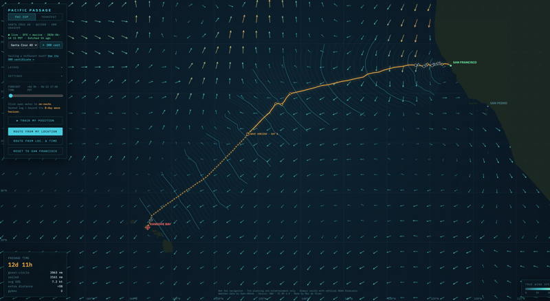
The part I’m quietly proud of: Once you’ve loaded a forecast, it keeps working with no signal at all. Simply grab the latest grid whenever you’ve got a few minutes of Starlink access, then route, re-route, and watch your heading offline for hours.
And for the armchair fleet, it’s a fun way to follow the Pacific Cup and Transpac races, and second-guess the leaders’ every jibe from the sofa.
Two honest caveats: This is a hobby project, not a product, and it is absolutely not for navigation. It’s for planning and entertainment, so always verify against official forecasts before you actually do anything with it.
If you take it for a spin, I’d genuinely love to hear what’s useful and what’s nonsense — I’m very much open to feedback.
Fair winds, and see you on the journey south in July.
– Ros de Vries, foredeck, SC40 Quiver (find me on Instagram, @yarrcat)

Nice work Ros! Don’t show my team tho. I might be out of a job! 🤙
Once again Ros rocks! Not only a foredeck wizard but a tech wiz, too!!!!
Haha, thank you gents! And no Mark, you got many other talents ✨