
NOAA to Update Marine Charts
Ever wonder if your charts are old, outdated or missing new information?
The National Oceanic and Atmospheric Administration (NOAA) published a National Charting Plan last week outlining the agency’s efforts to modernize its entire catalog of nautical charts in the coming years.
The two-part plan details the current set of NOAA nautical charts as well as the Administration’s planned action to improve their charts and information. NOAA has already begun improvements on the data for wrecks in their electronic navigational charts. Other changes are still being considered, such as converting distances from fathoms and feet to meters.
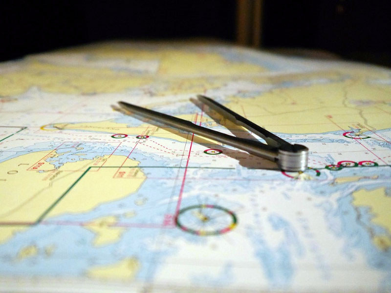
After the Coast Guard decided to allow sailors to forgo carrying paper charts in February 2016, NOAA ramped up improvements to its electronic charts. The agency is also phasing out the production of new paper charts, as it now offers electronic charts, downloadable for free from the NOAA website. If you like the nostalgic feel of sea-proof paper charts, or simply want to carry them as an emergency backup, paper charts can still be purchased from NOAA-certified chart agents — we certainly think this is a wise idea.
Rather than releasing new charts every two to 10 years, as was common practice with the paper models, NOAA will issue weekly updates to their electronic charts. If you’re worried about missing an important edit on your paper charts, NOAA publishes a comprehensive list of both critical and routine updates online here.
One important update that recreational boaters will notice in the coming year is the merging of individual electronic chart cells into a single database called the Nautical Information System. With current electronic charts, some parts of a larger chart do not match up properly, causing inconsistencies due to the different scale of each cell. The Nautical Information System will conform the various cells, making the entire chart more of a cohesive unit.
Although NOAA gives no timetable for the NIS plan, the agency expects to completely eliminate paper charts at some point as the use of their digital chart data increases.
As chart updates are phased in, NOAA welcomes feedback on the National Charting Plan from professional mariners, recreational boaters and those in the navigational equipment industry.
Have comments, raves or gripes about the new electronic chart updates or the elimination of paper charts? Let us know by emailing us.
Happy navigating!