
Navionics Chart Errors
Like a lot of sailors, we navigate using an iPad and Navionics charts. It’s worked great for us in the United States and the Caribbean, but not so great in Mexico.
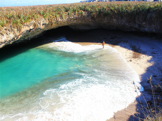
The problem is that the Mexico chart data on which the Navionics charts are based are sometimes off by a significant amount. At Punta Mita, for example, our Navionics chart is off by at least a mile. To make matters worse, the Navionics chart doesn’t even show the nearby Tres Marietas Islands, all of which are bigger than Alcatraz. So when in Mexico, we use the Navionics for rough navigation, but rely heavily on eyesight, radar and the depth sounder for fine navigation.
© Haydé Escalante
We know, however, that there are places in Mexico where Navionics charts are spot-on. As we recall, Cabo is one of them and La Paz is another. So if you’ve cruised Mexico recently, and used iPads and Navionics to navigate, we’re asking you to advise us and Latitude readers where the Navionics charts seem to be accurate, and where they aren’t.
Receive emails when 'Lectronic Latitude is updated. SUBSCRIBE