
National Hurricane Center Hosts Webinars for Mariners
On July 9 and 10, the National Hurricane Center (NHC) will be hosting their inaugural, live webinars on weather forecasting geared toward bluewater mariners. Participation is free and there is space for up to 250 attendees. The webinars will be conducted through GoToMeeting video conferencing. Register for each event using the links below.
1-2 PM EDT, Thursday, July 9th
Register at: https://attendee.gotowebinar.com/register/7939182445973937932
“Hurricane Analysis and Prediction.”
Hosted by Dr. Mike Brennan, Chief, Hurricane Specialist Unit, National Hurricane Center.
The Hurricane Specialist Unit (HSU) of the National Hurricane Center maintains a continuous watch on tropical cyclones and areas of disturbed weather within the North Atlantic and eastern North Pacific basins. The HSU prepares and issues analyses and forecasts in the form of text advisories and graphical products, issues coastal tropical cyclone watches and warnings for the United States and its Caribbean territories, and provides impact-based decision support services for federal, state, and local government partners. HSU also coordinates with and provides watch and warning recommendations to other World Meteorological Organization (WMO) Region IV meteorological services. The HSU also conducts an extensive outreach and education program, training US emergency managers, the media, and representatives from many other countries affected by tropical cyclones.
1-2 PM EDT, Friday, July 10th
“Wind and Wave Prediction for the Blue Water Mariner”
Register at: https://attendee.gotowebinar.com/register/824305374798355468
Hosted by Dr. Chris Landsea, Chief, Tropical Analysis and Forecast Branch, Hurricane Specialist Unit, National Hurricane Center.
The Tropical Analysis and Forecast Branch (TAFB) within the National Hurricane Center makes forecasts of wind speeds/wave heights and issues wind Warnings year-round for 10,000,000 square nautical miles over the Atlantic Ocean north of the equator to 31°N and west of 35°W (including the Gulf of Mexico and Caribbean Sea) as well as the eastern North Pacific Ocean north of the equator to 30°N. These wind Warnings include tropical storms and hurricanes as well as winter storms, trade-wind gales, and severe gap-wind events (for example, the “Tehuantepecers” south of Mexico). TAFB provides these forecasts under the auspices of both the US National Weather Service and the International Maritime Organization. This presentation will review the analyses and forecasts that are currently provided 365 days a year, 24 hours a day, as well as impact-based decision support services for the US Coast Guard, which relies upon the National Weather Service for weather forecasts and briefing support.
As sailors, we almost always have at least one eye on the weather. These webinars are an opportunity to learn more about hurricanes and their prediction. Registration is required, so follow the link to sign up for each webinar.
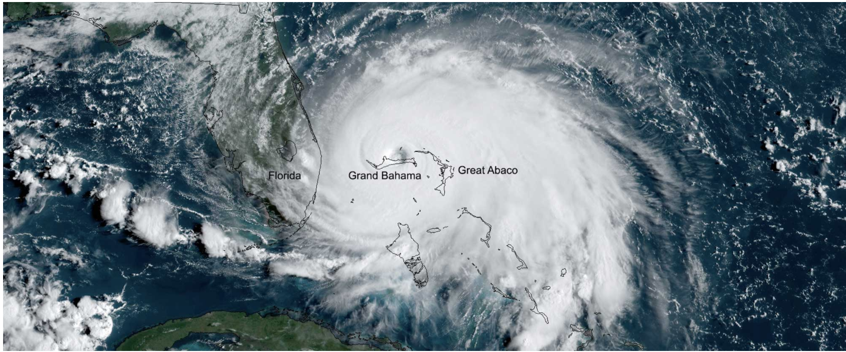
“The eyewall itself can be seen . . . nearly touching the sea surface . . . The pancake-shaped white patches are places where the wind is literally scooping water from the sea . . . This is a place of unmitigated violence, where bubble-filled water gradually gives way to spray- and cloud-filled air, with no definite interface that one could call the ocean surface. It is arguably the worst place in the world for a ship.”
– Divine Wind – The History and Science of Hurricanes, Kerry Emanuel, 2005.