
Angel Island — Still a Great Escape
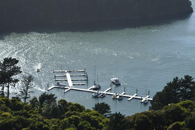
Yes, the docks are still a disaster, and the shallow water in the mooring field hinders many deep-draft sailboats. However, if you get lucky, the island is still a great escape. A rainy winter has made for a lush spring, making a hike to the top of Mount Livermore on Angel Island a high priority. We tried our luck and found an Islander 36 leaving as we arrived on a sunny Sunday, so we had a spot for our 6.5-ft-draft Sabre 38.
Leaving your boat at the dock, you quickly gain elevation on your way to the top of 788-foot-high Mount Livermore. It’s a five-plus-mile round-trip loop, which can be done in under two and a half hours if you don’t spend too much time stopping to admire the views (or catch your breath). However, if you don’t stop to see the views, you’re missing one of the most rewarding aspects of the hike.
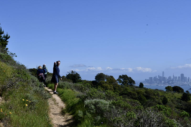
Right now the island is as green and covered with wildflowers as you’ll ever see it. Because the last ferries leave by about 4 p.m. the upper reaches of the island are usually empty except for sailors who were lucky enough to get a slip or who tied up in the mooring field. If you want to hike, it would be wise to bring a dinghy. That way, if there are no slips, you have the option to tie bow and stern to the mooring balls and row in to the dock. We’d advise rowing to the dock rather than pulling your boat up onto the beach, since it will quickly become a favorite beach toy for kids after you walk away.
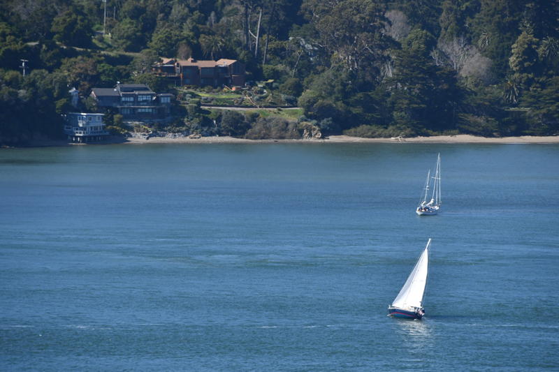
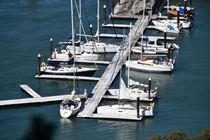
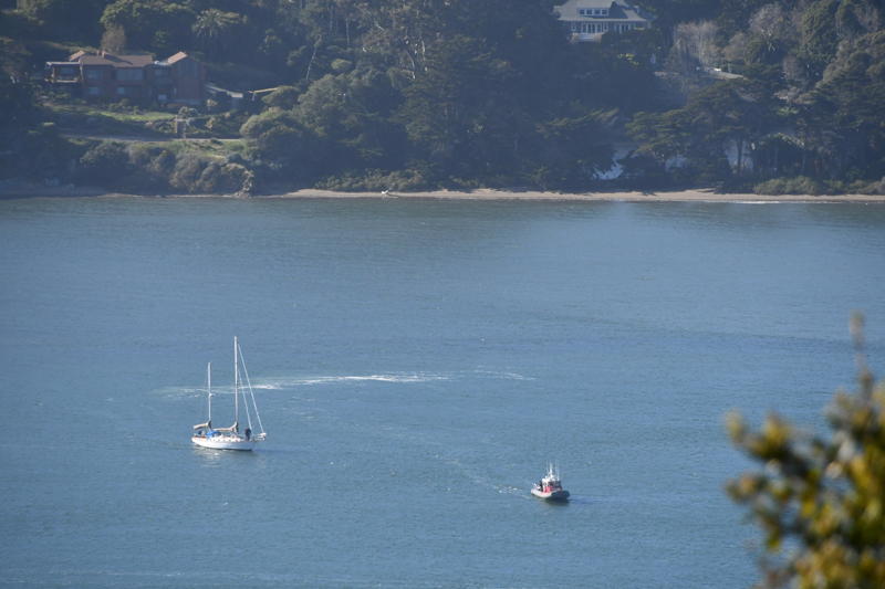
The view from above allows you to capture shots of boats sailing all over the Bay. We saw our friends the Gridleys aboard their Sabre 38 Aegea in the foreground (pictured above), while another boat went a little too far into Keil Cove and was hard aground for our entire hike around the island. Many boats, and especially racers, have been caught there by getting too close to the shallows as they attempt to hide from the current.
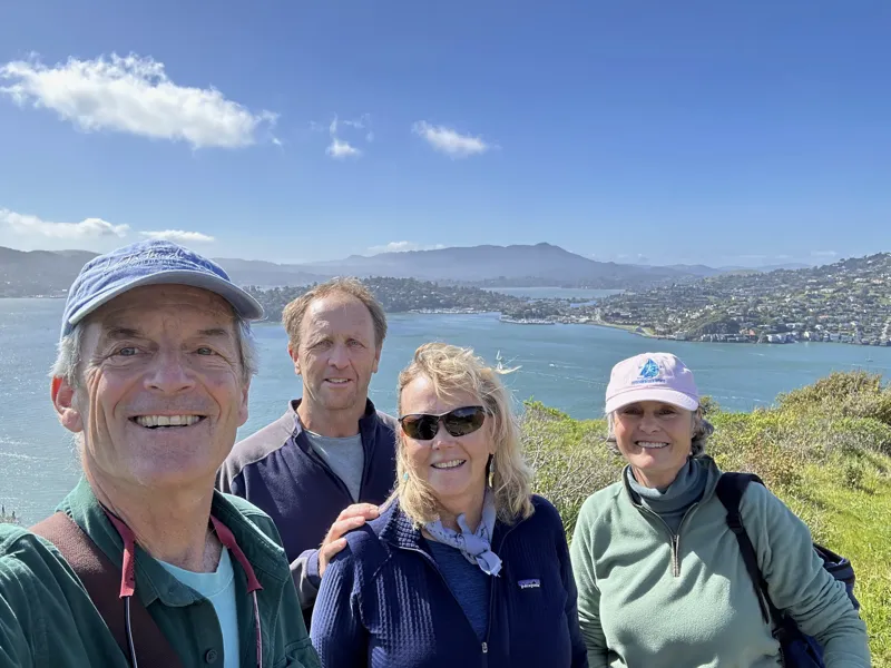
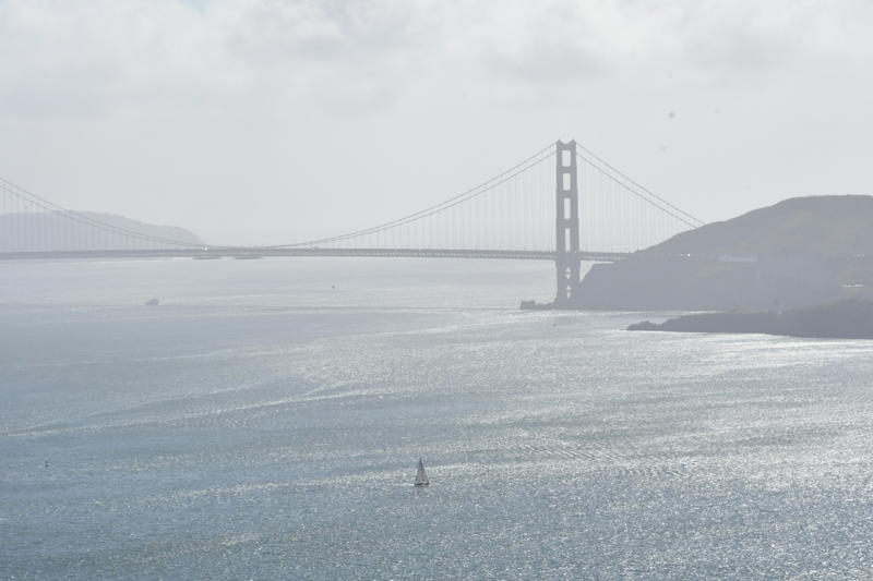
Once at the top of Mount Livermore you have a 360-degree view of San Francisco Bay. There is Mount Diablo to the east, Mount Tam to the north, the city to the south, and the sun setting and the Golden Gate Bridge to the west. In between the views you can see every puff of wind, current line and sailboat sailing on the Bay.
By the end of the day on Sunday the docks had cleared out and the mooring balls were empty. The sea lions (or are they harbor seals?) were resting comfortably in the sun on the heavily damaged western docks and would soon have the whole place to themselves.
The good news for the boat in Keil Cove was they landed on a rising tide, though it looks as if it still took a boost from TowBoatUS to give enough of a pull to get them off. Either way it was a perfect sunny day to enjoy wherever you parked your boat for the day. If you were as lucky as we were, you landed one of the far-too-few open, deep-water slips to tie up for a few hours and hike one of the Bay Area’s great outdoor escapes.
We go there often, the docks are a true work of art with small power boats taking up the longer deeper slips leaving the backside shallower ones open. I asked a ranger about it, they said how do you know they don’t have a deep draft? Really on a 16 foot Boston Whaler. One correction: Mt Tam is a lot more west than north, well maybe NW, to the north Mt. St. Helena