
Swine Flu in Mexico . . . & California & Elsewhere
It’s nice to know that the new and sometimes deadly swine flu — which is a combo of swine, avian and human flu — that started in Mexico was nice enough to not get going until the cruising season in Mexico pretty much ended. Since this flu strain only has an incubation period of 48 hours, if you were down in Mexico but have been back for more than two days, you won’t get it from having been south of the border.
Just how serious is this flu? Experts don’t seem to have any idea at this early stage. It could be over very quickly, or it could develop into something really terrible.
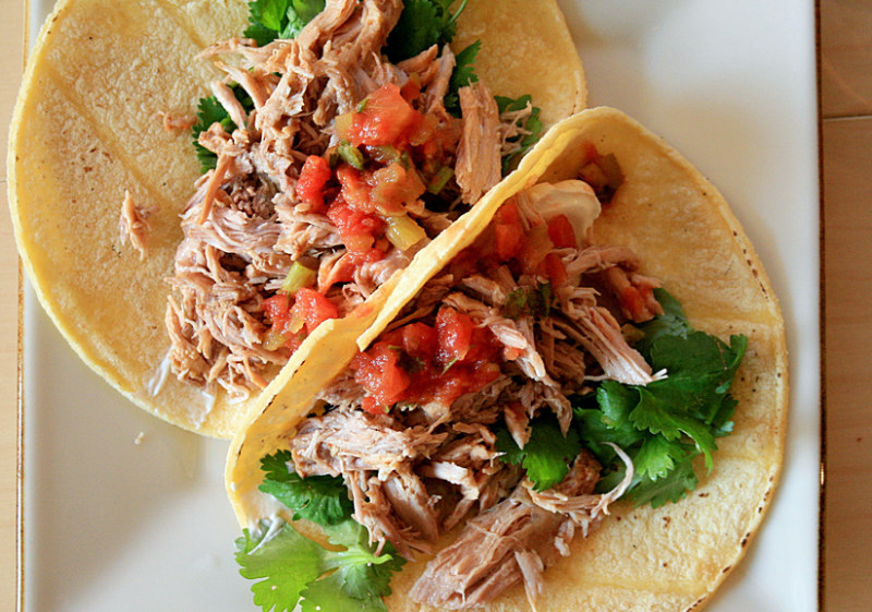
What would we do if we needed to go to our boat in Mexico? It turns out that we do need to go to our boat, which is currently in La Paz, to get her home before that June 1 start of hurricane season. Having planned on flying to the boat later this week, we’re going to hold off until there is more clarity about what’s happening. What would we do if we were on our boat in Mexico? We’d head out to an anchorage and stay there until more is known.
As no doubt everyone has heard, the best ways to prevent swine flu are to keep away from groups of people, wash your hands often, don’t shake hands, and remember that this stuff happily lives on money, keyboards, doorknobs and other common areas. You can, however, eat pork and not worry about getting the swine flu.
Above all, don’t freak out — at least not until instructed to.
Moms Love Latitude Gear
Mother’s Day is hurtling toward us at lightning speed, and what better gift for Mom than something pretty from Latitude 38‘s online chandlery? Flowers are soooo 1982 and candy will just make her feel fat afterward. Give the gift she can enjoy all year ’round!
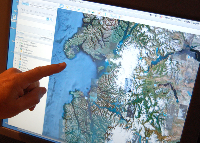
Life Before Google Earth
With modern technological advances impacting virtually every aspect of our lives these days, it’s easy to take many of them for granted. Consider, for example, the realm of geography and navigation. As every middle-aged sailor will recall, sailing offshore in the days before GPS (‘BGPS’) was a lot more dicey than it is today. If you practiced good seamanship, you always had a pretty good idea of where you were, but out in the middle of the ocean, beyond the reach of radio direction finders, navigation was a guestimate at best, especially during stints of bad weather. By comparison, of course, this is a splendid time to sail and navigate, whether you’re voyaging around the world, or simply trying to make your way through a Central Bay fog bank.
The same can be said for ‘armchair navigation’. Here at Latitude 38 World Headquarters, we’re so addicted to using Google Earth for confirming locations and measuring distances, that it’s hard to remember life without it (‘BGE’). And it’s amazing to think how far we’ve come in a relatively short period of time. Although Aristotle devised arguments that the Earth was round about 350 B.C., it wasn’t until 1,800 years later, when Columbus ‘discovered’ the New World — or the New World discovered Columbus, as some like to say — that the theories of Aristotle and other round earth proponents were universally accepted. Imagine how hard it was to find offshore crew back in the days when folks thought there was an aburpt edge to fall off at the end of every ocean!
©2009 Latitude 38 Media, LLC
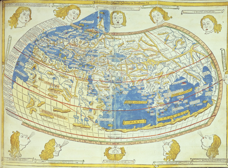
Probably the best known of the ancient geographers was Claudius Ptolemy (A.D. 90-168), a Greek who lived during the Roman era. Although he made some substantial errors on his famous maps, it’s mind-boggling to think that his were the only maps available to European explorers 14 centuries later! All things considered, we’d much prefer to be living in the age of Google Earth. Now, please excuse us while we get back to navigating the canals of Chilean Patagonia.