Mindboggling Worldwide Currents
We recently reported on the development of the Earth Wind Map, which is one of the most fascinating depictions of natural phenomena that we’ve ever seen. If you haven’t checked it out yet you should, as it gives a graphical interpretation of air currents everywhere on earth, with the imagery updated every three hours.
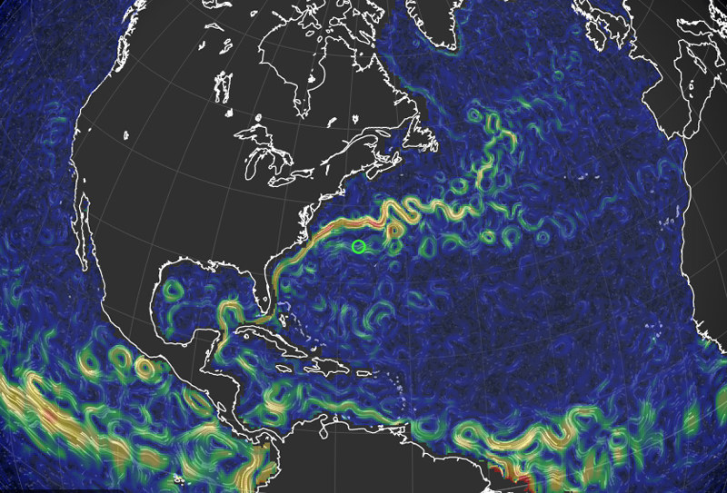
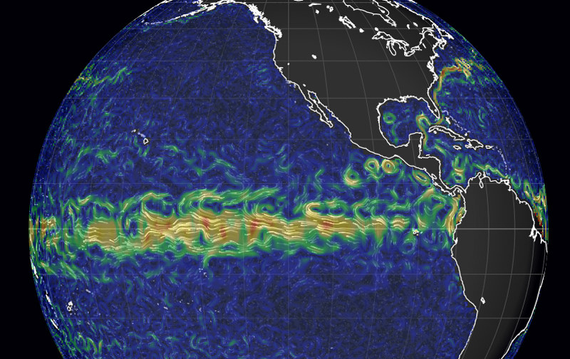
What’s next? We’ve just been alerted that a similar depiction of worldwide currents has also been developed — apparently by the same group of scientists. As with the Earth Wind Map, currents are laid over a Google-Earth-style line drawing of planet Earth. With your mouse, you can spin the globe to see any spot on the planet, then zoom in for more detail by double-clicking. More subtle currents are depicted as green lines, and stronger currents are shown as yellow and orange lines.
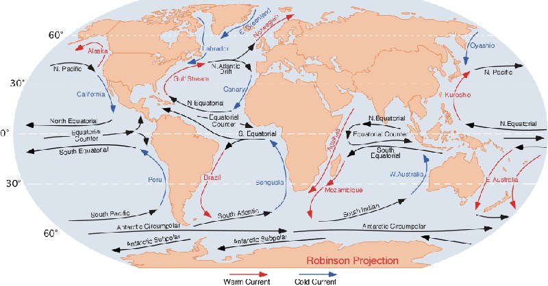
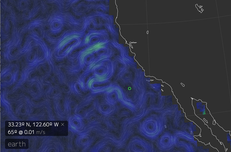
If the data is to be believed, there is currently a weak northbound current between Point Conception and San Francisco Bay. And check out the power of the Gulf Stream traveling north from the Caribbean along the Eastern Seaboard. The volume of warm water pushing west gives weight to the theory that the British Isles, which lie between latitudes 50 and 59 degrees N, would not be habitable if the flow of the Gulf Steam shut off.
In the March edition of Latitude 38 magazine we hope to bring you details on how this data is collected and how it is converted to this amazing graphic display.