
October 17, 2001
Photos of the DayOctober 17 – Mystery Location 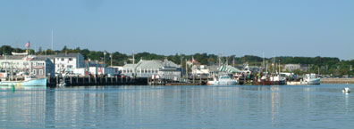 Who can identify this mystery harbor? Hints:  Photos Latitude/Rob |
Cruising in Muslim CountriesOctober 17 – Port Dickson, Malaysia “I’m currently at Admiral Marina in Port Dickson, Malaysia,” “Enough whining! As to your question “Topic A among cruisers, as you might |
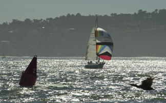
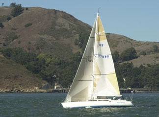
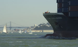
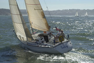
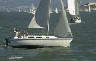
Sunday’s Photos Were Taken SaturdayOctober 17 – San Francisco Bay Several observant folks caught an error in yesterday’s
 |
   |
YOTREPSOctober 17 – The Pacific Ocean and Cyberspace Who is out making passages in the Pacific |
Weather UpdatesOctober 17 – Pacific Ocean San Francisco Bay WeatherTo see what the winds are like on the Bay California Coast WeatherLooking for current as well as recent wind Pacific Winds and PressureThe University of Hawaii Dept. of Meteorology Pacific Sea StateCheck out the Pacific Ocean sea states |
Top

/ Index of Stories /

Subscriptions

/ Classifieds

/ Home